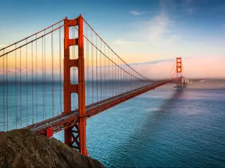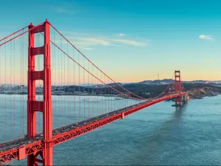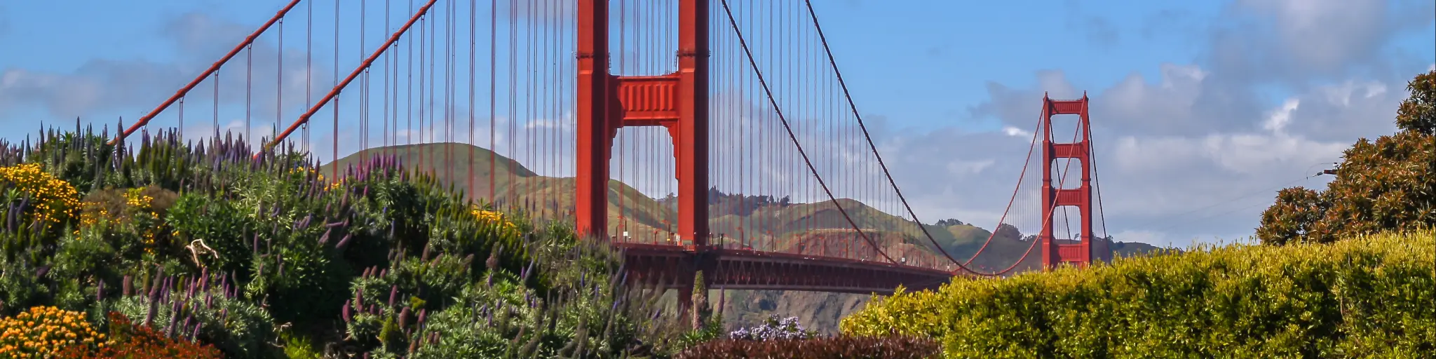
Golden Gate Bridge
San Francisco's Golden Gate Bridge connects the city of San Francisco to Marin County and is one of the most recognizable landmarks in California and the whole of the United States.
Stretching some 8,980 feet, this suspension bridge is probably the best known and most photographed bridge in the world. The main span of the bridge stretches an amazing 4,200 feet and although newer bridges have since surpassed it, it was the tallest and longest suspension bridge in the world when it was built in 1937.
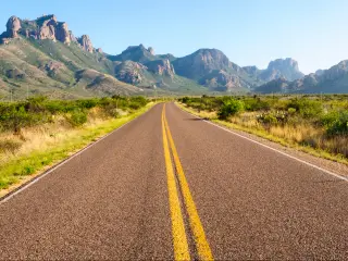
To explore the bridge, you're best off parking the car and moving on foot. Remember that it's 1.7 miles end to end so if you're going to cross it and come back, plan for it take a few hours.
There is a paid parking lot where you can drop off the car by the Golden Gate Bridge Welcome Center, but it's quite small and can fill up quickly on a nice day.
Aside from the obvious photo opportunities along the length of the bridge and from the Fort Point National Historic Site, two other great places for stunning views are from Conzelman Road that heads west north of the bridge (there's lots of places to park) and Lands End if you want a more distant view.

Sasha Yanshin – Co-Founder & Lead Driver
Sasha Yanshin has spent the last 15+ years mapping and driving thousands of miles across Europe and the US. As the Co-Founder and Lead Driver of Lazytrips, he brings an analytical approach to road-tripping, sharing meticulously tested routes, realistic drive times, and the hard-earned logistical reality of the open road.
Read full bio